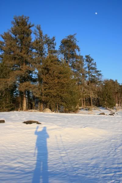
 That's me, waving to the camera. Standing on Lake Kabetogama in Voyageurs National Park, I stopped and set up shop for some sunset photos after a few hours of skiing around looking at stuff. Those didn't really turn out but I had a great time anyway because looking at stuff is something I enjoy (and I'm pretty good at it too). Saw lots of tracks (wolf, deer, chickens) and only partially froze off 2 toes - they've since grown back but I must be a bit more diligent about layering up when I stop moving because it's next to impossible to unthaw frozen toes when skiing, at least for me.
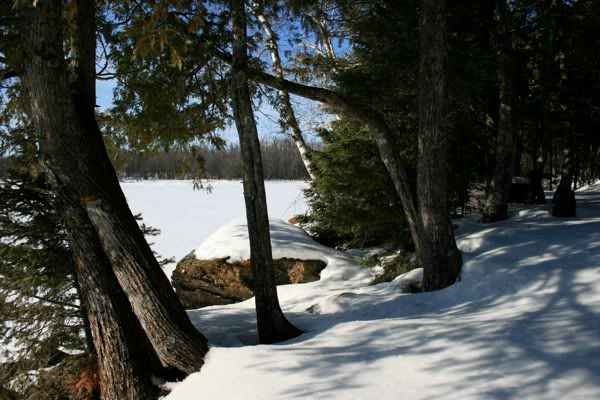
With a couple more hours I could've circumnavigated Round Bear Island but a trip to Lost Lake and then around the southern part of Round Bear was still good. The snow was pretty crusty, but pretty easy going if I stayed on some of the old snowmobile tracks. To get to Lost Lake, I crossed the Kabetogama Narrows (which was significantly easier than the last time I was here). No waves or lightening, just a bunch of snowmobiles and their rather wide trail to get across. No problems there, although it got a bit trickier after dark when I realized crossing the snowmobile trail was a bit like being in the Frogger video game. Next time, reflective tape on my clothes and a bit more lighting would be smart. Listening to the ice crack and boom was interesting and not altogether pleasant.

My goal for this trip was to ski as much of the trail system as I could. Originally I was going to winter camp and snowshoe or ski to Ek Lake or something, but my last experience with winter camping convinced me I really, really dislike sleeping outdoors in cold temps. Perhaps when I become a master igloo builder I'll do that trip, but for now hotels are my preferred winter shelter.
Back to the point: I skiied part of the Black Bay trail on Sunday morning, and hated just about every single minute of it. Overcast skies, an icy trail with multiple hills and less than inspiring scenery do not make me happy. Did part of the intermediate loop and left. Not suprisingly, the skies cleared on my drive down to Kabetogama, not that clear skies would've improved the Black Bay experience by much.
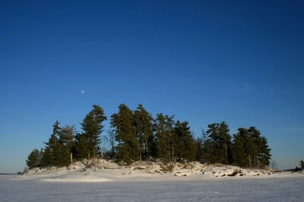
On Kabetogama, I checked out my map and decided to make for Sugarbush Island. You can see it off in the distance, a dark spot on the horizon on the right side of the photo, about 3/4 of the way over. OK, maybe you can't really see it but it's there. I couldn't see it either, I just took a compass bearing and since the dark trees were in line with the compass, that's what I headed towards.
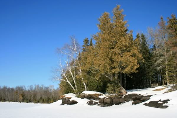
 This is the campsite on Sugarbush Island.
 It was pretty warm, somewhere in the upper 30s maybe, which isn't really all that warm unless you're skiing on top of a giant reflector shield. I wound up in just my t-shirt and pants and was still hot, wound up taking a break at the campsite picnic table trying to get in the shade of a little tree for a bit. The skiing wasn't as nice as yesterday, with virtually no snowmobile tracks heading my way I was breaking through the crust with every stride. Took about an hour to go the 2 miles to Sugarbush.
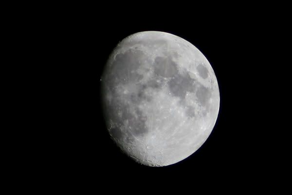
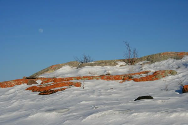
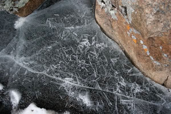
From there, I headed southwest to a couple smaller islands, rather than continue on to the Ellsworth Rock Gardens (scroll down halfway). With a couple more hours I could've made it to the gardens (curses again, you stupid Black Bay trail). But I did have a good time the rest of the day, checking out the lichen and ice formations on the islands and hanging out waiting for sunset. It's amazing/ridiculous how many of my photos have the moon in them.
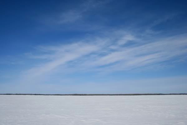
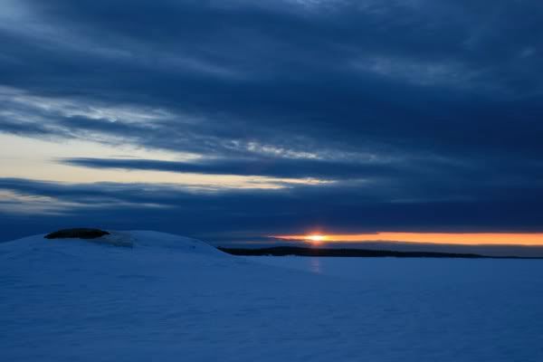
This is the sunset from Martin Island.
Getting back to my Jeep was a 3 mile ski by moonlight/headlamp, not much snowmobile traffic but quite tiresome. I tried howling for wolves but got no answer. Given the number of wolf tracks I'd seen I know they're out there, but I must sound very much like a wolf imposter.
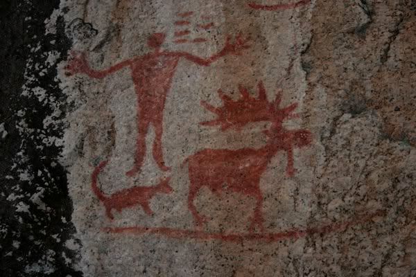
My weather radio was full of info about the impending winter storm so I decided to cut my trip short by a day. I headed to Ely the next morning and snowshoed out onto South Hegmann Lake to see the pictographs - a human figure, wolf and anatomically correct moose, along with some squiggles.
Some random stuff on the way back:
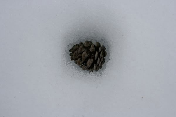 The trek out there was fairly easy since the lake is (obviously) flat, and I made it back to the trailhead without incident. Again, no wolves crossed my path, but a little squirrel did - I watched him eat a pine cone as if it were corn on the cob.
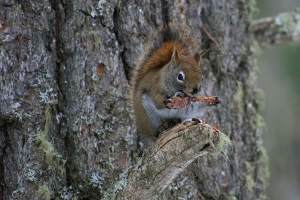
It would've been cool to spend more time around Ely, especially if the snow was better and I could've skiied some of the trails in and around the Boundary Waters. But with the trails icy and a storm on the way, I just pointed my Jeep in the direction of home. Further exploration will have to wait until I'm a better skiier - I think it would be fun to come back some time and spend a few winter days on the trails.
All my photos are here.

No comments:
Post a Comment